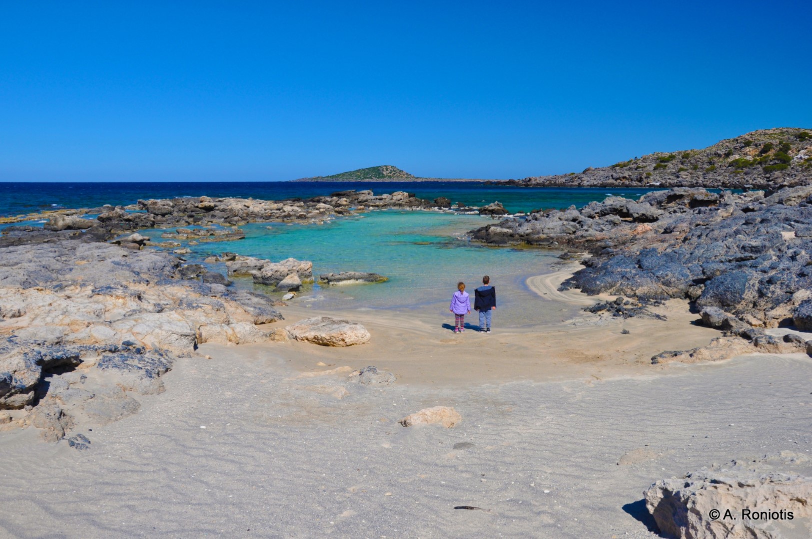
Πέμπτη 25 Ιουνίου 2015

Kedrodasos Beach

Kedrodasos beach


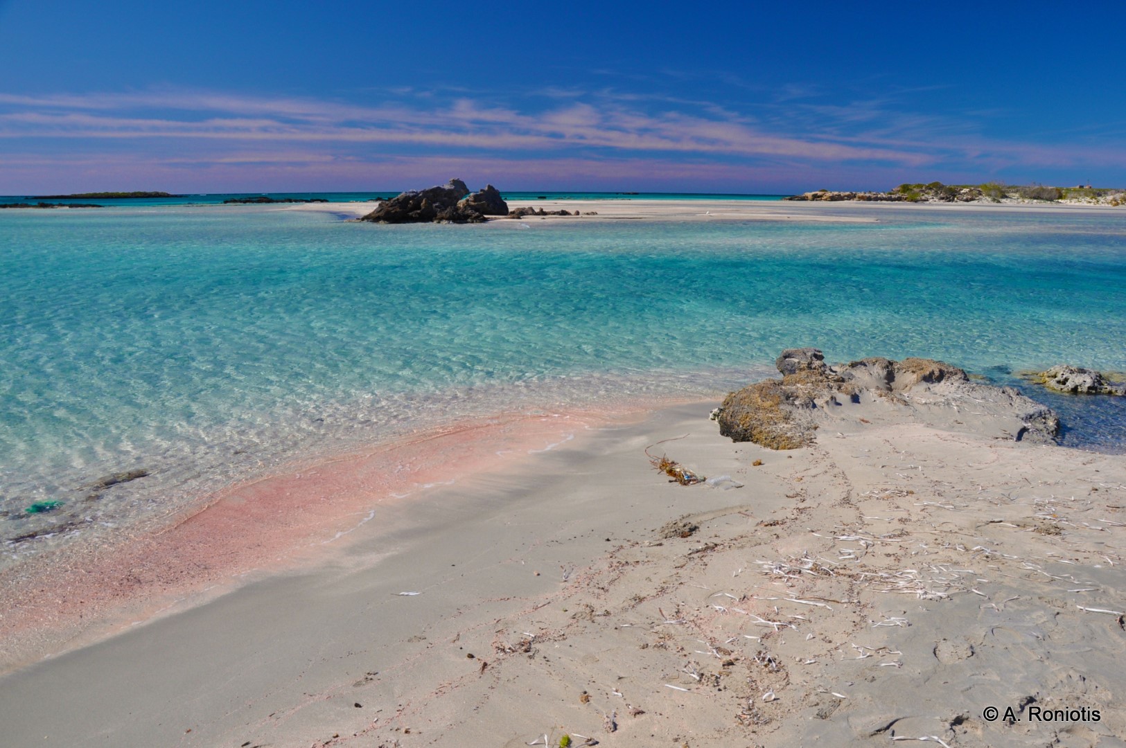
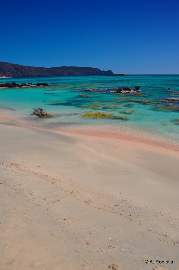
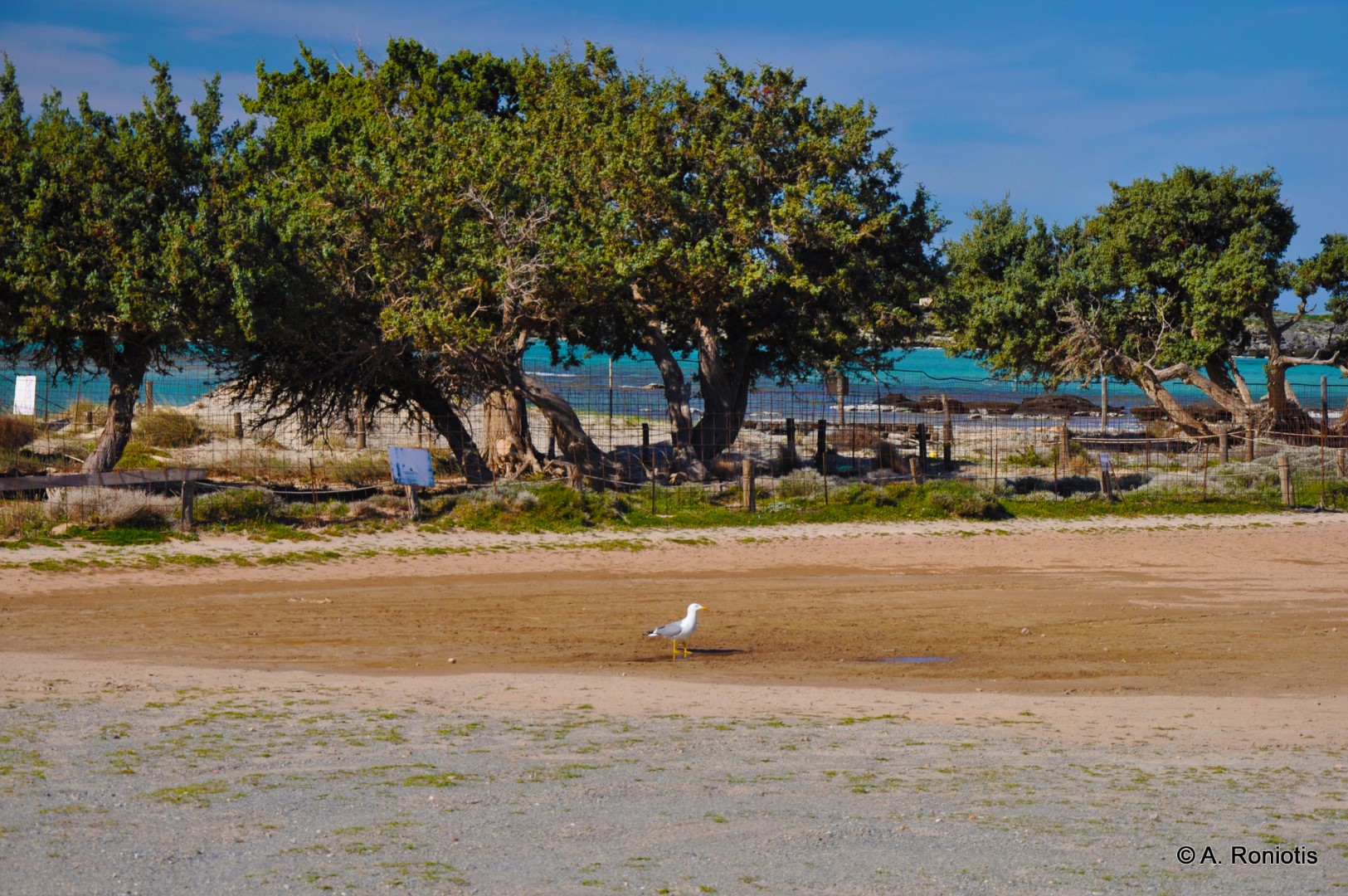
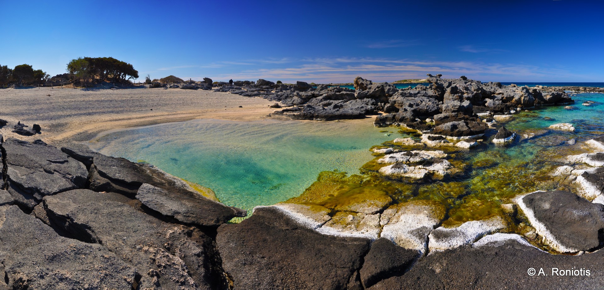
Kedrodasos (i.e. cedar forest) is an amazing beach, located 76km southwest of Chania and 1km east of the famous Elafonissi lagoon. The beach is filled with juniper trees (mistakenly confused with cedars) and sanddunes, reminding of tropical Lebanese beaches. These are the small twisted junipers (juniper species are Juniperus oxycedrus subsp. macrocarpa and Juniperus phoenicea). If you ever visit the beach, you should note that the trees are very fragile and need respect.
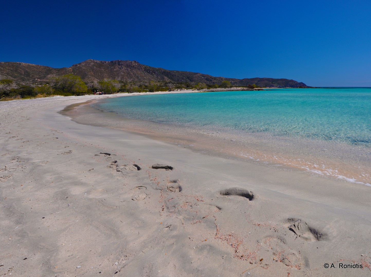
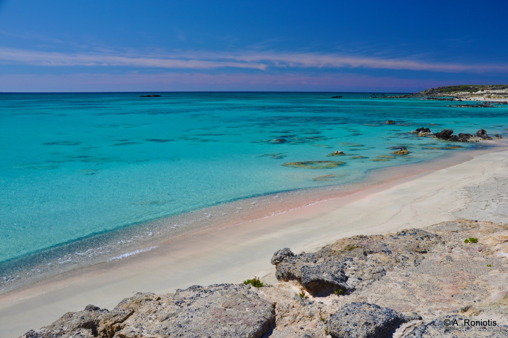
The cedar grove covers a big area of about 110 acres and is a magnificent place. It is a wonderful choice for camping and a favorite beach for naturists. It is a very nice beach with white sand and some smooth and flat rocks in places. Fortunately, there are no facilities nearby, making this secluded beach, one of the latest untouched paradises in Europe. Moreover, since the beach is secluded, you should keep it clean and not littered.
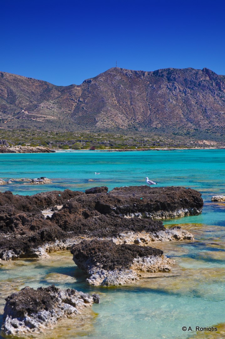
The beach is protected to some point from the winds that usually blow in the neighboring Elafonissos. The European path E4 crosses the beach (there are yellow and black signs on the way).

AGIOS IOANNIS BEACHES

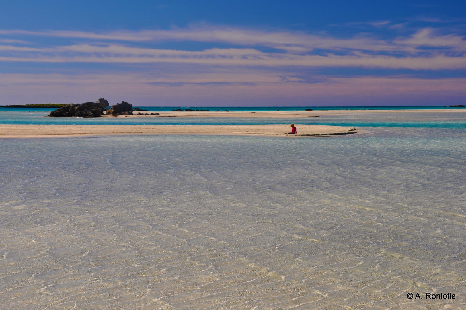
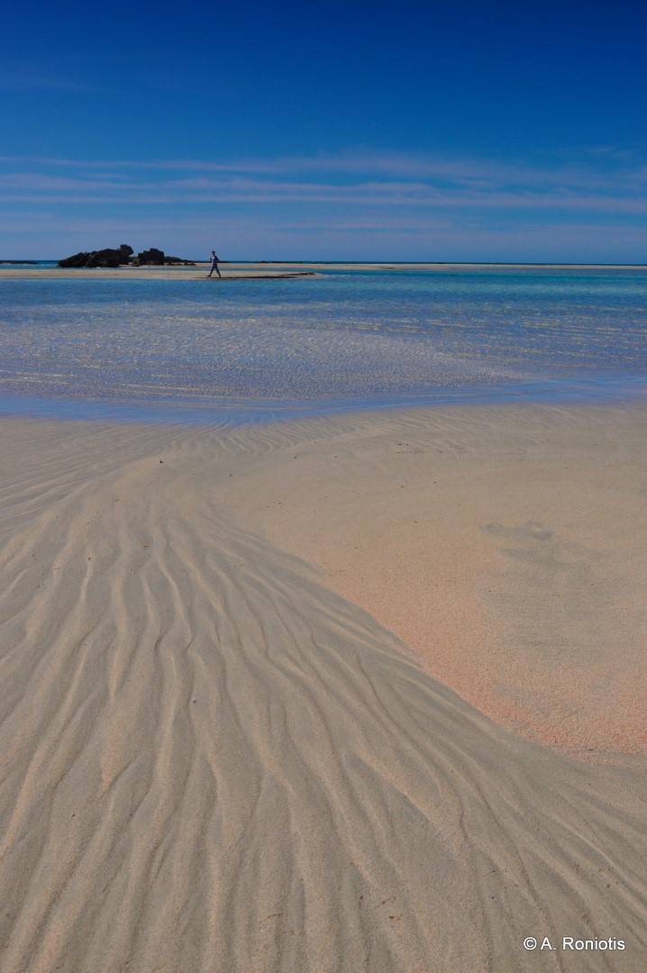
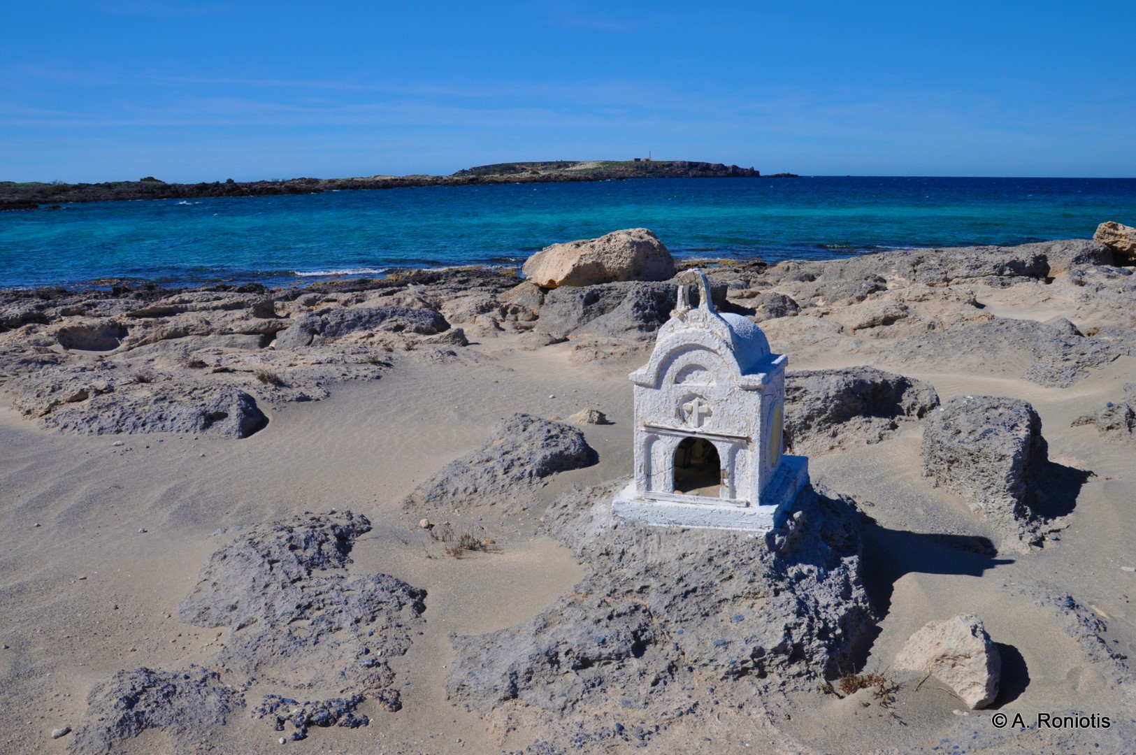
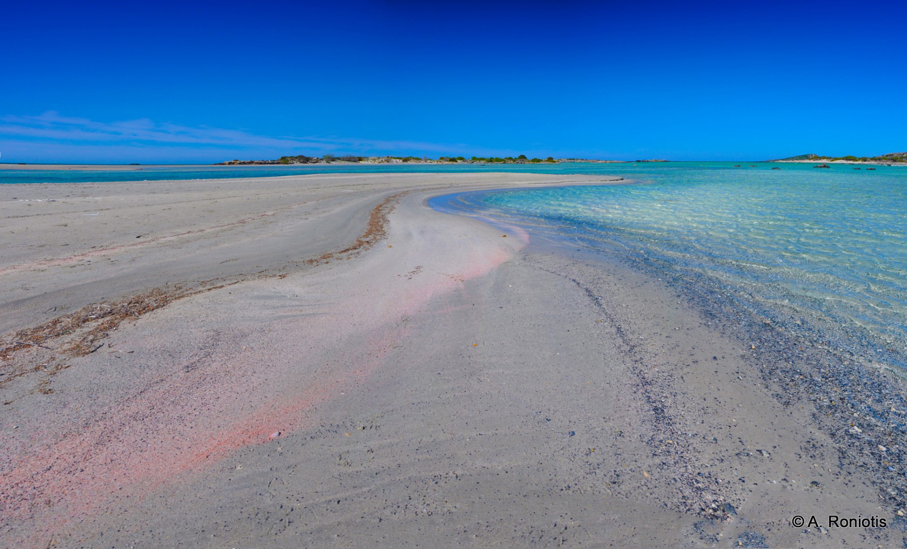
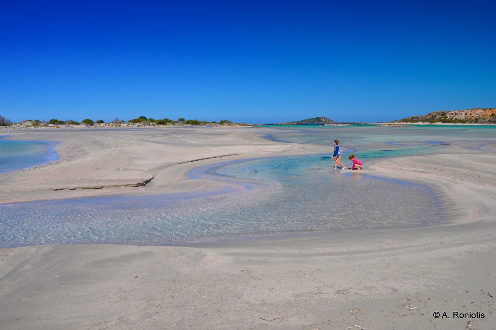
During the last years the fame of Kedrodasos has increased the number of visitors. Thus, if you want to stay totally remote in the peak season, just like in the past, there are some nice beaches located 1-2km on the east and on the way to the remote chapel of Agios Ioannis (Saint John). They are a more secluded version of Kedrodasos, with less trees and natural shade. They are crossed by the E4 footpath and can only be accessed by walking to the east from Kedrodasos. The first beach we meet from Kedrodasos is called Pahia Ammoutsa (Thick Sand) after the sand and the sanddunes and is the longest of the area. After some meters we meet the small beach Kambi Lakkos at the exit of a small stream and just below the chapel of Saint John there is the beach of Kokkino Ammoutsaki (Red Sand) named after the reddish sand. Note that Saint John chapel can also be accessed by car from Paleohora through a dirt track.


Moreover, Kedrodasos wider area is considered ideal for the lovers of wind- and kitesurfing, as wind is usually intense and sea is flat.


Πέμπτη 28 Μαΐου 2015

Elafonissi

ELAFONISI


Elafonisi is located 76km west of Chania and 5km south of Chrysoskalitisa Monastery, in the southwesternmost point of Crete. Elafonisi is an oblong, which often "breaks" in two parts by water giving the impression of being a separate island. Elafonisi is a Natura 2000 protected area. The island is full of dunes with sand lilies and jupiners (like-cedars trees). The endangered turtles careta careta and several rare animals nest on the island and it is strictly forbidden to remove any plants, animals and sand from the area.
Exotic beaches with white sand and turquoise waters, reminding of the Caribbean, are formed on either sides of the peninsula. The sand is pinkish in many places, taking its color from thousands of broken shells. Near the “breaking” point of the peninsula, the water does not exceed 1m, creating a small lagoon, ideal for children. You can easily cross the lagoon in order to reach the “island”, having your staff with you, because the water is very shallow there.


The eastern side of the beach, in front of the lagoon, is well organized and has the most people. There are umbrellas, showers, lifeguards, snack bars and changing rooms. Also, near the beach there is a huge area for parking and, even further, a few rooms to let. Opposedly, the beaches on either sides of the island are less crowded and are the most beautiful, with amazing azure colors. If you want to stay completely secluded or nude, you can walk along the peninsula until you find a quiet cove that you like! There are always many coves available for naturists.
You can come by car (1.5 hours) or by bus from Chania. The road to Elafonisi is narrow and full of turns, but the beauty of the landscape is stunning. Moreover there are many options for accommodation and meals available at Chrisoskalitissa village, 5km north.


                                                                                                                                                                                      SIGHTSEEING AND HISTORY

The island's history goes back in the ancient times, when the ancient Greeks built a temple dedicated to Mousagetis Apollo on the islet of Mousagores (today's Elafonisi). Mousagetis means the lord of the Musses (Greek deities), who with their music calmed down the marine deities and the wavy sea. Opposite the islets, there was the temple of Ino, the daughter of Kadmos.
The island was once occupied by pirates, but now it attracts thousands of visitors. This is reflected in the name of the island. Elafonisi means “Treasure island” in Greek, named after the treasures that pirates stored here. Who knows, maybe you’ll be lucky to find a hidden treasure when you come here...
Near the parking area, you will see a monument. It is there to commemorate a tragic story that took place in Elafonisi in the Easter of 1824. Turks, leaded by Ibrahem Pasha, massacred 600 women and children and 40 combatants, who had escaped in Elafonissi hoping that the Turks would not find the shallow passage to the islet. The Turks however found the passage by watching a donkey that was seeking for its master. After the massacre, they moved to Xotikospilio cave to continue their slaughter. According to some reports, this number is 850 people, while many seem to be those that were sold as slaves. During the Revolution of 1866, the historic ship Arkadi that was used against the Turks by the rebels for years, was destroyed during a battle on August 7, 1867 near Elafonissi.
Strolling on the island definitely is worth the effort. You can trek for 20 minutes until the lighthouse on the edge of the island. The area is called Agia Irini (Santa Irene), after the picturesque chapel with the endless view to the sea. In order to get there, you walk through magnificent landscapes with dunes and beautiful bays. The current lighthouse in Agia Irini was built before the German occupation (1939) and was seen from 30 miles. There was a smaller lighthouse before, built after 1907. This was erected after the tragic sinking of the Austrian ship Imperatrix, in February 1907. 38 people were killed out of the 140 passengers. Their bodies were buried on the island.
Lastly, 5km north of Elafonissi, there is the Chrysoskalitisa monastery. This monastery has been built on a high rock, resembling of a fortress. According to the legend, the last step of the staircase leading to the monastery is gold, but can only be seen by those who really believe in god.

Τετάρτη 27 Μαΐου 2015

Balos Lagoon

Balos Lagoon

The famous lagoon of Balos is located approximately 56km northwest of Chania and 17km northwest of Kissamos, formed between the Cape Gramvousa and the small Cape Tigani. Balos is surely the mostly photographed beach in Crete, a very favorite subject of all tourist guides for Greece. It is no coincidence that Prince Charles and Princess Diana visited Balos with their private yacht many years ago.
Balos is famous for its turquoise waters, the wild natural beauty and the beautiful exotic scenery. During the summer, Balos is visited by thousands of people, who arrive mostly by the ferries running from Kissamos port. If you do not like crowds, you’d better avoid to visit the beach in July and August. Also, a perfect idea is to arrive at Balos in the morning, before the boats arrive from Kissamos. These few hours of remoteness in such a heavenly place will remain etched in your memory forever.
The lagoon of Balos has white sand and exotic white, vivid blue and turquoise waters. The sea is very shallow and warm, ideal for young children. In many places the sand has a lovely pinkish color, because of millions of crushed shells. Beyond the rocks at the boundaries of the lagoon, the water is deeper and colder, ideal for a snorkeling. The lagoon and the wider area, with rare species of flora and fauna, are protected under the Natura 2000 program. Eleonora falcons, shags and cormorants nest in the caves of the area. Moreover, the area is a shelter for the protected monk seal and the sea turtle caretta caretta. Despite the protection, a primitive café and umbrellas have appeared on the beach in recent years. You can buy water from there and from the bars of the ferries.
Some drawbacks of the lagoon is that the seabed is muddy and the shallow waters facilitate the growth of microorganisms, which sometimes cause an unpleasant smell. Lastly, the locals say that the sea currents transfer rubbish or tar to Balos.


141516181920212526272829303132


Read more: http://www.cretanbeaches.com/en/sea-tourism/west-crete-beaches/balos-lagoon-beach

Chrissi Island

Chrissi Island


Chrissi island or Gaidouronisi is located 8 miles south of Ierapetra city, in the open Libyan Sea. It is a flat islet very famous for its tropical blue water that cover all possible palette hues of blue and green, the protected forest with large juniper trees and the thousands of broken shells that make the sand pinkish. The residents of Ierapetra love this island and call it simply "the Island". It is said that years ago by Gianni Agnelli, the chairman of Ferrari, wanted to buy the island to make it a tourist attraction. Fortunately, the locals rebelled and the island has remained free.
Chrissi takes its name (golden) after the golden sand that covers the entire island and comes from shell debris. The tropical beaches are crowded by many visitors who come by the excursion boats that leave Ierapetra in the morning and return in the afternoon. Chrissi has been declared as an area of natural beauty and it is strictly prohibited to camp and spend your night here. You must keep away from the fragile cedar forest, which has been signed with ropes. Lastly, collecting sand and shells is strictly forbidden.
The boat from Ierapetra reaches the island after 50 min and the harbor is located in the area Vougiou Mati, in the south coast. There is a tavern where you can enjoy your food. Next to it you'll see the South Beach of Vagies, where you can have a relaxing bath and rent an umbrella. Along the coast there are other bays with sand and stones, which you can discover yourself.

The most popular beach is located on the north side of the island, where you can get after a short walk from the harbor, crossing the magnificent cedar forest. After 5’ you’ll meet the main beach of the island, called Belegrina or Golden Beach. Belegrina is full of broken shells, the water is crystal clear and has sparkling light blue colors, strongly reminiscent of the beaches of the Caribbean. It is sligthly organized with umbrellas and a canteen where you can get drinks. The water is shallow and has great clarity


If you walk west of Belegrina, the next beach you will find Hatzivolakas. It is calmer and the seabed is rockier. Nature here shows off its glory, with large fragile cedar trees, over 200 years old, surrounding you. West of Hatzivolakas, archaeologists have detected traces of a Minoan settlement that flourished because of trading Tyrian purple, the red dye used by Ancients and Byzantines, which was extracted by the gastropod Murex brandaris. Nearby, you can visit the small chapel of St. Nicholas, the old salt pan and the lighthouse of the island.


Alternatively, if you walk eastwards from Belegrina, you will find yourself in Kataprosopo beach (i.e. Face-to-face beach), which looks the islet of Mikronisi “face-to-face”. Mikronisi is located east of Chrissi and offers shelter to thousands of seagulls. The beach is less impressive than those of the north side, but more secluded. The water here is shallow and does not exceed 5m in depth (all the way to Mikronisi), making the area ideal for snorkelers.


27